Wednesday, February 22, 2006

Palaeolandsurface Found

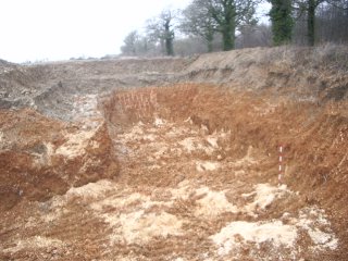
In line with expectations, the Boxgrove palaeolandsurface has been located in the Northern part of the Quarry, an area potentially under threat during the new phase of extraction. These sediments are identical to those which have produced in-situ archaeology, human remains and butchered animals carcasses dating to over half a million years old at Boxgrove.
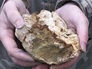


Now that this key horizon has been identified surviving within the Valdoe Quarry a plan can begin to be formulated to mitigate against any extraction work which impacts upon it.

New Project Vehicle

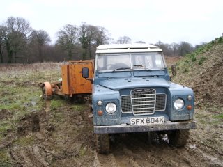
As the work horse for the project we this week took possession of a 1972 Series 3 Landrover. Throughout the past few days this truck consistently out-performed the Toyota Hi-lux driven by our borehole team both in terms of horsepower and off-road abilities.


The landrover, a short wheel base which now qualifies for Historic Taxation Class, will handle all off-road and quarry driving for the duration of the project.

Saturday, February 18, 2006

Boreholing Commenced

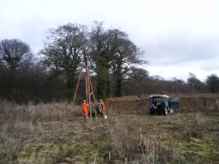
In order to determine the presence of the Boxgrove palaeolandsurface within the threatened areas of the Quarry a series of boreholes will be sunk this week to map the subsurface geology.
A team from West Wight Drilling have been hired to undertake this work using a standard Dando percussion rig.


5-6 boreholes should be all that is required to create, when combined with exisiting data sets, a local geological model of the area.

Tuesday, February 14, 2006

Extraction of 'Haul Road' begins.


There are two areas within the Valdoe Quarry where renewed extraction may impact upon the Boxgrove palaeolandscape. One lies beneath the old north-south haul road which cuts through the eastern part of the quarry.


This week the first phase of extraction began here, removing the overlying decalcified gravels, or Hoggin, and exposing the underlying calcareous coombe rock. Within the next few weeks it should be possible to determine the actual distribution of the landsurface within this area.

Sunday, February 05, 2006

Topographic Survey

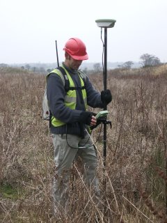
With the aid of Mark Savage (Archaeology South East), an initial topographic survey of the Valdoe Quarry was undertaken. The aim of the survey was to provide an accurate and up-to-date snapshot of the quarry topography and layout prior to the commencing of any new extraction. In addition the survey provided a series of benchmarks around the quarry perimeter, these will allow the subsequent accurate surveying of boreholes, test pits and new extraction areas. The survey was extended beyond the perimeter of the quarry to tie into the surrounding landscape.


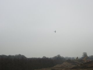
The survey was undertaken using Leica GPS equipment which, given the open conditions of the quarry, was immensely more efficient than using a total station. The surveying marked the first phase of fieldwork in the Valdoe Assessment Survey, an occasion marked auspiciously by a Spitfire fly-past from the nearby Goodwood airfield at the close of play on the first day.